
Capabilities
Aerial context built around the operating need.
Choose the objective. Baron Aerial Media plans coverage, airspace, and delivery around the work your team needs to do next.
01
Brief
We collect the mission goal, the site, and the window from you first. A listing still, a month-over-month jobsite set, a claim file, a roof packet, and an orthomosaic are five different flights. Where and when matter as much as what.
02
Authorize
Airspace class, LAANC on the live UAS Facility Map, Part 107 Waivers, TFR and National Security Event notices, and local permits (NYPD for New York City operations, property/GC access, venue clearance). Coordination happens here — not on the pad.
03
Conditions
Day-of weather, TFRs, National Security Events, and NOTAMs can change an approval that looked clean the night before. This is the GO / NO-GO gate. Authorization is planning status, not a launch.
04
Fly
Capture from the viewpoints the brief and the authorization actually allow — stills, film, or a mapping grid. The aircraft comes down when the coverage for the deliverable is in the card, not when the battery is empty.
05
Process
After the flight: cull, color, align, and reconstruct. Photogrammetry, 3D site models, construction tracking sets, and inspection packets are built here. The deliverable is prepared for the client’s review workflow.
06
Deliver
Stills, film, orthomosaics, DEMs, 3D models, progress comparisons, and reports — organized to the specification in the brief. This is the product the client files, presents, or sells. Flying is only half the job.
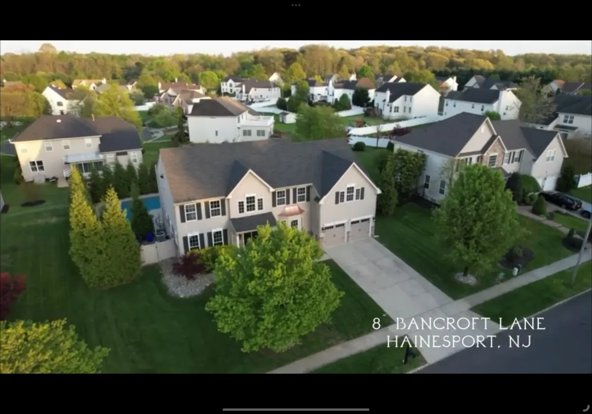
Listings + marketing
Real Estate Aerial Media
Cinematic listing films, twilight stills, and neighborhood context that make scale, access, and setting unmistakable.
Explore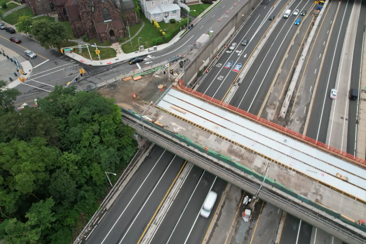
Jobsite documentation
Construction Progress
Repeatable viewpoints so month-over-month progress, staging, and site context are comparable — not a new angle every visit. The sample packet is NJDOT’s North Munn Avenue Bridge over I-280 and the adjacent Crossings at Brick Church Station.
Explore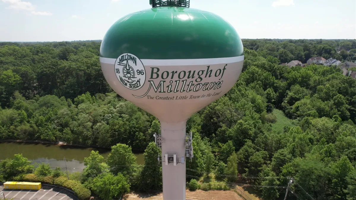
Hard-to-reach assets
Aerial Inspections
Close-range visual documentation of roofs, facades, chimneys, and envelopes — organized for qualified review teams on the ground.
ExploreClaims + visible condition
Property Damage Documentation
Time-stamped stills of roofs, siding, lots, and structures for owners, adjusters, and qualified professionals. Organized overview and detail sets help reviewers locate visible conditions.
Explore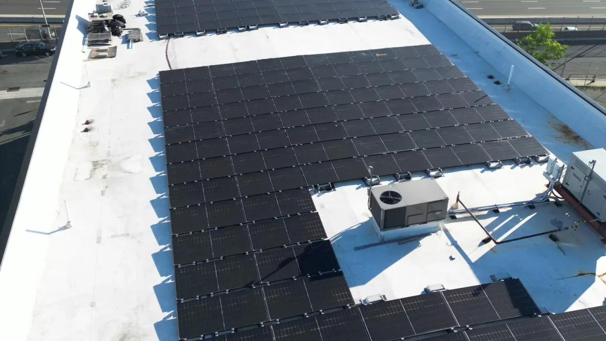
Arrays + envelope
Roof + Solar Visual Documentation
Overview and detail imagery of roofs and solar arrays, organized for qualified client teams. Capture is scoped to the roof, array, access, and the decisions your team needs to make.
Explore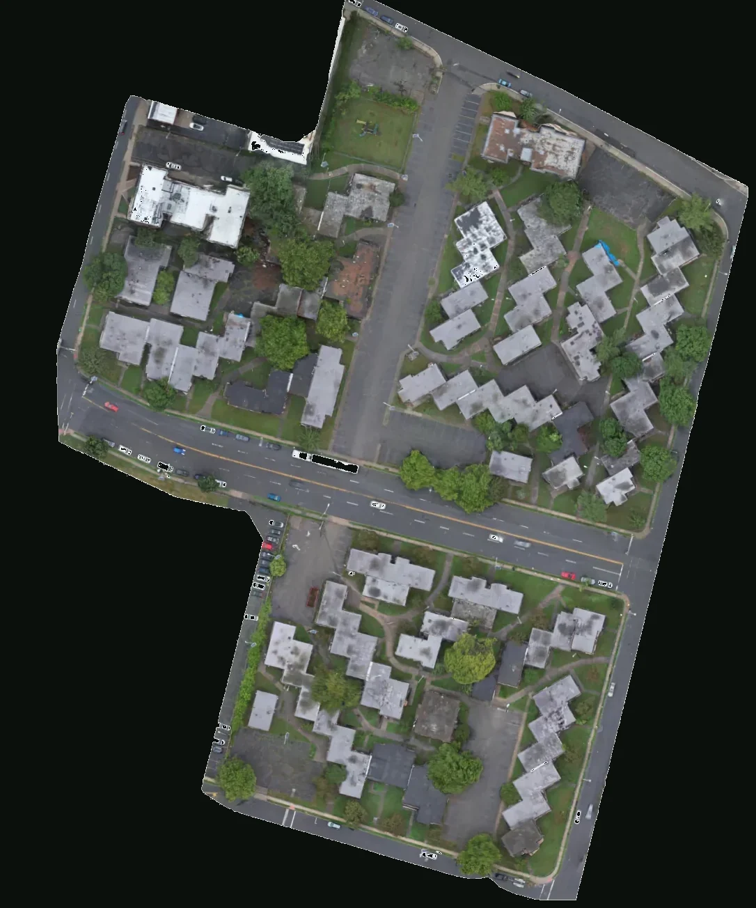
Scoped photogrammetry
Mapping + 3D Site Models
Planned overlapping capture for orthomosaics, photogrammetry, and 3D site models when the decision needs measured context — not just a pretty frame. The sample is Kuzuri Kijiji, East Orange: the 1973 townhouse complex at 19 Freeway Drive East, mapped July 6, 2026.
ExploreVenues + gatherings
Event Aerial Media
Aerial coverage planned around the venue, people, timing, boundaries, and the final media need — flown only with organizer and airspace clearance.
ExploreAltitude Changes Everything
From Rooftops to Bottom Lines.
Tell us the site and the decision the media has to support. We will scope the flight, the deliverables, and whether it is operationally feasible under Part 107.
Plan a Drone Mission